Home
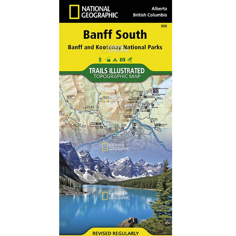
Trails Illustrated Map: Banff North (Banff and Yoho National Parks)
ROCK CREEK
Trails Illustrated Map: Banff North (Banff and Yoho National Parks)
From National Geographic Maps
Current price: $14.95
ROCK CREEK
Trails Illustrated Map: Banff North (Banff and Yoho National Parks)
From National Geographic Maps
Current price: $14.95
Loading Inventory...
Color: Default Title
Size: One Size
Loading Inventory...
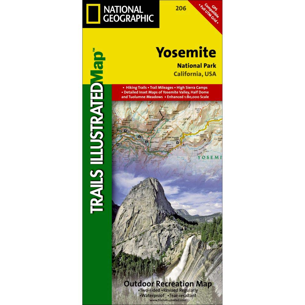
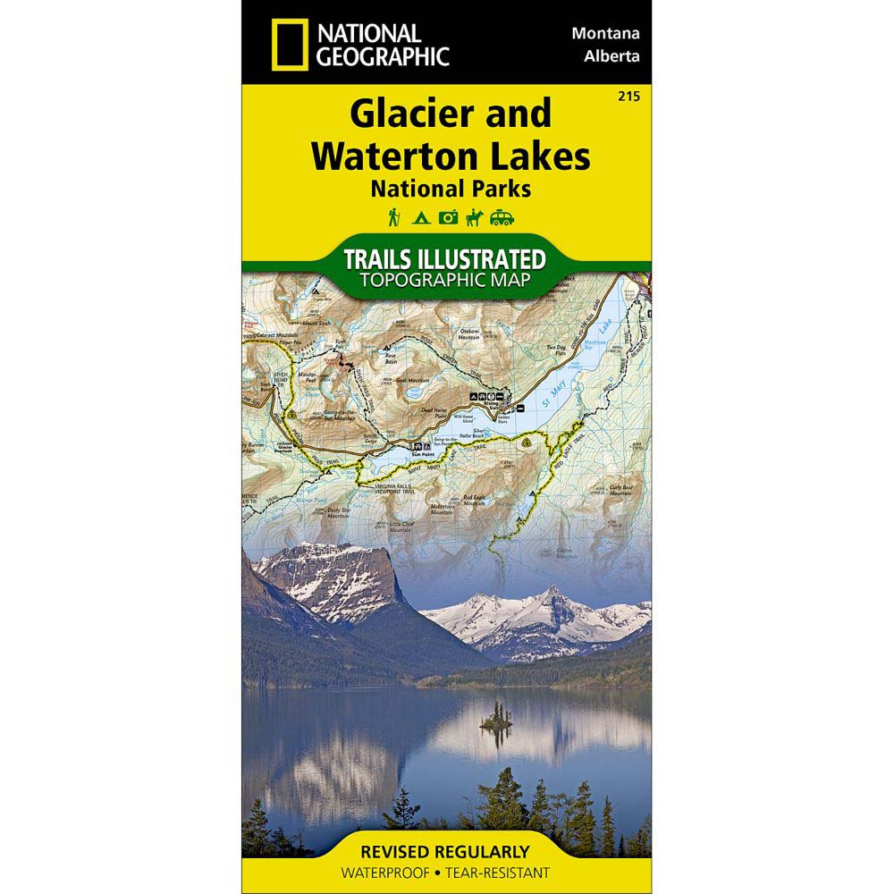
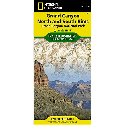
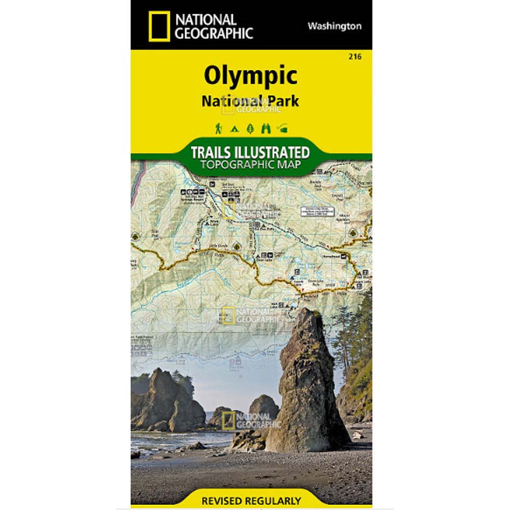
The National Geographic Maps Trails Illustrated Map: Banff North (Banff and Yoho National Parks) delivers unmatched detail for outdoor enthusiasts exploring the unparalleled mountain scenery and abundance of recreational opportunities of the Canadian Rockies. Expertly researched and created in cooperation with Parks Canada and others, the map covers the northern and western areas of Banff National Park as well as Yoho and Kootenay National Parks, Siffleur and White Goat Wilderness Areas, Kootenay Plains Provincial Park and the southeastern tip of Jasper National Park. Many popular recreation points of interest are shown, including Lakes Louise and O'Hara as well as the scenic Icefields Parkway, displayed with distance markers.Explore the area by following the map to trailheads and then along precisely mapped trails, shown with distance markers in miles and kilometers and labeled for hiking, biking and horseback riding. To aid in your navigation the map shows glaciers and icefields, contour lines and elevations, labeled peaks and passes, areas of rock debris and water features. Find suitable areas for exploration, according to your area of interest, with labeled campgrounds and campsites, backcountry lodging and cabins, horse camps and corrals, biking and skiing areas, river access points, fishing areas, lookout towers and scenic viewpoints. The map also includes background information about the area, bear safety tips and essential contact information.Every Trails Illustrated map is printed on "Backcountry Tough" waterproof, tear-resistant paper. A full UTM grid is printed on the map to aid with GPS navigation.Other features found on this map include: Banff National Park, Lake Louise.Details:Scale: 1:70,000 (1" = 1.10 miles)About Trails Illustrated:More than just a map, National Geographic Trails Illustrated topographic maps are designed to take you into the wilderness and back. Printed on tear-resistant, waterproof material, this map can go anywhere you do. Each map is based on exact reproductions of USGS topographic map information, updated, customized, and enhanced to meet the unique features of each area. The maps include valuable wilderness tips and Leave No Trace guidelines, along with updated trails, trailheads, points of interest, campgrounds, and much more. With a new color palette and stunning shaded relief, backcountry navigation has never been easier.